History of Castaic
Castaic, California, nestled along Interstate 5 just north of Santa Clarita, has a rich and layered history stretching back centuries. The area’s name comes from the Tataviam word Kashtiq, meaning “eyes,” and was later adapted into “Casteque” by Spanish explorers before becoming “Castaic.”
Long before modern settlement, this region was home to the Tataviam people, whose presence is still evident through archeological sites in nearby canyons. In the 19th century, the land became part of Mexican land grants, and later served as a vital route for travelers during California’s early expansion.
By the late 1800s, Castaic had become a notable stop along the stagecoach route and eventually the highway system. Ranching, farming, and mining contributed to its early economy, and the town grew slowly as a rural foothill community with a distinctly Western identity.
Castaic’s proximity to Los Angeles and the creation of Castaic Lake in the 1970s transformed it into a popular recreational and residential destination. Today, while it remains unincorporated, Castaic is known for its open space, strong community roots, and easy access to natural beauty, making it both a peaceful hometown and a convenient stop for visitors exploring northern Los Angeles County.
Location & Climate
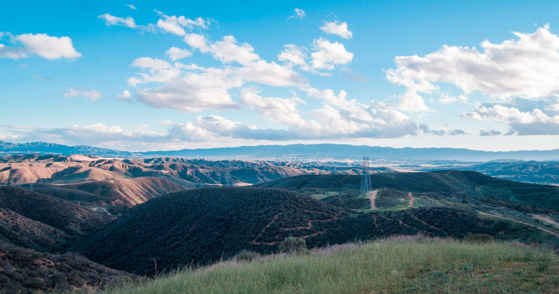
Castaic sits at the southern edge of the Sierra Pelona Mountains, bordered by the Angeles National Forest to the north and the city of Santa Clarita to the south. The area enjoys a Mediterranean climate characterized by hot, dry summers and mild, cooler winters. Summer temperatures often reach the 90s°F (32–38°C).
While winter highs typically remain in the 60s°F (15–20°C). With over 280 days of sunshine each year, Castaic offers an ideal environment for year-round outdoor activities like hiking, boating, and camping.